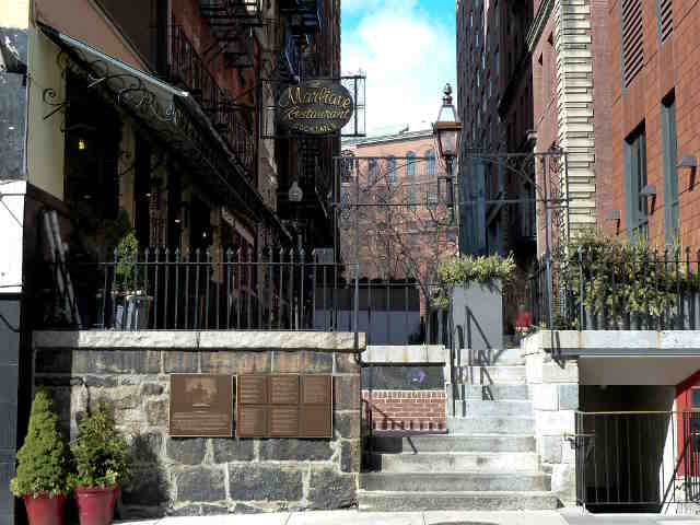
Old Corner Book Store
Select your language to auto-translate:


")
")


Leading US Publisher 1833-64
Built in 1711 after the original house burned, under Ticknor and Fields, it was the nation’s leading publisher and produced works by Longfellow, Stowe, Hawthorne, Emerson, and Dickens.
It now houses a Chipotle Mexican Grill.
Background Information
The original house on this site belonged to Quaker Anne Hutchinson, who was banished from Boston in 1637. That house survived until 1711, when it burned in the first “Great Fire,” which consumed a major part of Boston, including Boston’s Town House (at the site of the current Old State House, Stop 9) and the Old Meeting House (Boston’s first Meeting House).
Soon after that fire, the current house was built by Dr. Thomas Crease to serve as both his residence and an apothecary. After several incarnations as a dry-goods store, residence and another apothecary, it became a bookstore and printing shop in 1828 when it was leased to Carter and Handee.
Five years later, in 1832, it was leased to publisher William Ticknor, who took in James T. Fields as his partner. Fields began editing a magazine called the Atlantic Monthly – printed on a printing press that was driven by two Canadian horses. The Atlantic Monthly is still published today.
The company’s greatest legacy was their development of the royalty system for authors. With this innovation, authors were able to share in the proceeds from their books sales for the first time. Prior to this, publishers purchased book rights for a set fee.
Ticknor and Fields was the nation’s leading publisher between 1833 and 1864. Among their authors were Henry Wadsworth Longfellow, Harriet Beecher Stowe, Nathaniel Hawthorne, Ralph Waldo Emerson, John Greenleaf Whittier, Oliver Wendell Holmes, Sr., Charles Dickens, and Louisa May Alcott.
During this period Ticknor and Fields was the regular meeting place for all the great writers of New England. It became known as “Parnassus Corner,” a reference to the mountain home of the Twelve Muses of Greek mythology.
The building was restored in 1960.
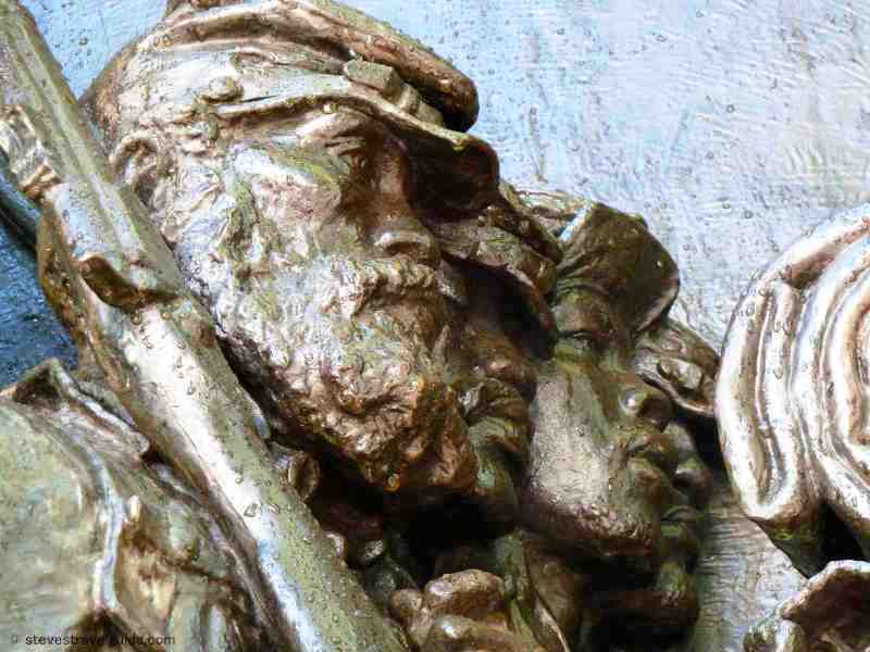
The Irish Famine Memorial
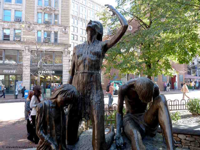
Irish Famine Memorial
The Irish Famine Memorial commemorates the Great Irish Famine, which took place between 1845 and 1852. Many Irishmen and women emigrated to Boston during the famine, settling originally in Boston’s North End.